
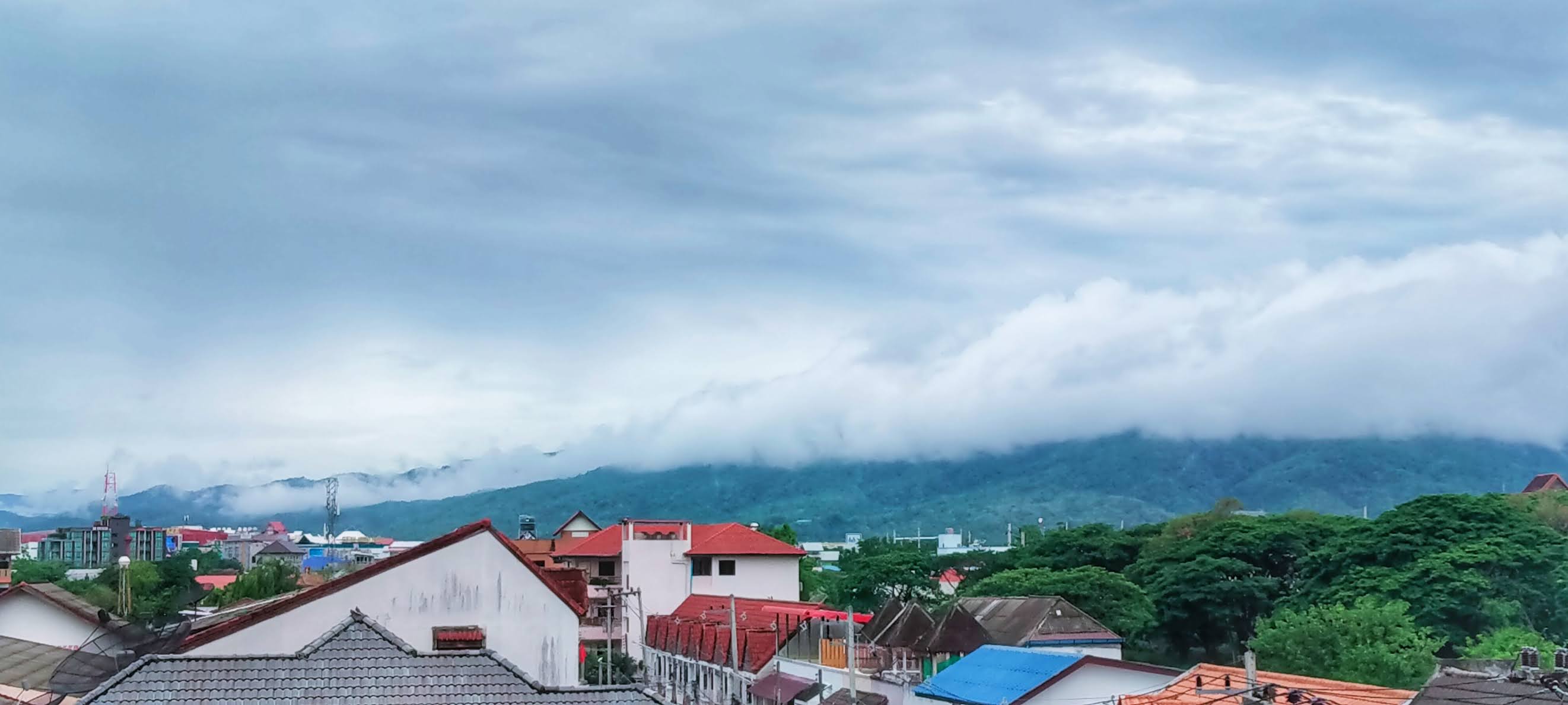
Cloud formations are a fascinating aspect of the natural world. They result from the condensation of water vapor in the Earth's atmosphere. Here are some common types of cloud formations:

Cumulus Clouds:These are large, fluffy clouds with a cotton-like appearance. They often form at low altitudes and are associated with fair weather.
Stratus Clouds:Stratus clouds form in uniform layers and cover the sky like a blanket. They often bring overcast conditions and light precipitation.
Cirrus Clouds:Cirrus clouds are high-altitude clouds that appear wispy and thin. They are made up of ice crystals and are often seen in fair weather.

Nimbostratus Clouds:Nimbostratus clouds are thick, gray clouds that cover the sky and bring continuous, steady precipitation.
Cumulonimbus Clouds:These are towering clouds that can reach great heights. They often bring thunderstorms, heavy rain, lightning, and sometimes even tornadoes.
Altostratus Clouds:Altostratus clouds are gray or blue-gray clouds that cover the sky at middle altitudes. They often precede a storm with continuous precipitation.
Altocumulus Clouds:Altocumulus clouds are white or gray clouds that form in patches at middle altitudes. They often indicate a change in the weather.

Stratocumulus Clouds:These are low, gray clouds that often cover the entire sky. They don't usually bring heavy precipitation, but they can lead to light drizzle or mist.
Cirrostratus Clouds:Cirrostratus clouds are thin, ice-crystal clouds that cover the sky at high altitudes. They often create halos around the sun or moon.
Cirrocumulus Clouds:Cirrocumulus clouds are small, white patches of clouds that form at very high altitudes. They are composed of ice crystals.
Clouds, nature's shape-shifters, float across the sky like airy whales or sprawling castles. Children and dreamers alike gaze upward, envisioning fantastical scenes unfolding in the ever-changing cloud formations.
Sometimes, they appear as soft, cotton tufts gently pushed by the breeze. These billowing masses ignite imaginations, creating a serene backdrop for daydreams and lazy summer thoughts under the sky.
At sunset, clouds transform into canvases painted with strokes of pink and orange. Observers find themselves wrapped in the warmth of the colors, as day slowly transitions into night.

Storm clouds gather with a menacing grace, their dark, swirling undersides a stark contrast to playful, fluffy whites. They hold the promise of thunder, lightning, and the cleansing rains to follow.
In the chill of winter, clouds blanket the sky in heavy grays, their dense layers hiding the sun. Their somber hue inspires a quiet introspection and the cozy retreat of indoor warmth.
Above the highest peaks, clouds cling to mountains like mystical veils. Adventurers climbing high feel a sense of entering another world, where air thins and the vast heavens dominate the horizon.


No comments:
Post a Comment